
[Smart City Today]
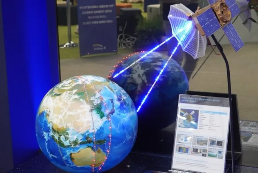
The implementation of the Korea Augmentation Satellite System (KASS) is expected to give more momentum to the development of technologies related to the fourth industrial revolution in Korea.
The GPS location error of the navigation system will be within 1 to 1.6 meters (m) from the previous 15 to 33 meters (m).
The Ministry of Land, Infrastructure and Transport (Minister Won Hee-ryong) announced that it will provide the first Korea Augmentation Satellite System (KASS) signal to provide precise location information services throughout Korea by drastically reducing GPS location errors.
The Korean satellite navigation correction system, which is called KASS, has been listed as the seventh international standard in the world.
The use of KASS location signals in drone and vehicle navigation will be commercialized as early as the first half of next year.
If KASS signals are applied to smartphones, location accuracy is expected to be further improved in navigation, parking, and taxi call services.
It is expected that more precise location information will be available not only in mobility industries such as drones, urban air mobility (UAM), and self-driving cars but also in areas using GPS such as emergency rescue and agriculture.
If aviation services are provided, flexible aircraft access and landing routes can be selected, and effects such as reducing aircraft delays and cancellations and improving safety are expected.
In particular, it is expected that it will be possible to provide access procedures using KASS to local airports such as Ulsan, where installation and operation of instrument landing System (ILS) is impossible due to mountains.
Joo Jong-wan, an airport policy officer at the Ministry of Land, Infrastructure and Transport, said, "We will do our best to successfully build and operate KASS by actively cooperating with the location-based industry so that accurate location information can be used by the general public."


![[토큰경제학] 엔비디아의 다음 돈줄은 GPU가 아니라 메모리다](https://cdn.www.smarttoday.co.kr/w400/q85/article-images/2026-06-10/b8779f99-0e61-4370-ab4d-d84e450ee10e.jpg)

댓글 (0)
댓글 작성
댓글을 작성하려면 로그인이 필요합니다.
로그인하기