
National Geographic Information Institute of MOLIT(The Ministry of Land, Infrastructure, Transport) announced that it will provide high-resolution aerial photography services sequentially via the Land Information Platform from June.
As high-resolution aerial photographs are key infrastructure for spatial information needed to build digital twins, they will meet various administrative needs of local governments and public institutions and actively use them to create new private industries and develop technologies.
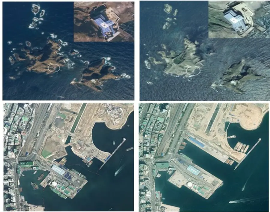
In particular, it is expected that high-resolution aerial photographs will be provided more than three months earlier than before and that they will be used in the national basic map of the previous year so that significantly improve the state-of-the-art.
In the meantime, it provides a batch of 12cm resolution aerial photographs, which had been individually photographed by local governments for illegal building control and road facility management. As the filming area more than doubled and the resolution improved, equipment inspections such as camera verification were conducted before the project order, so that consistent quality could be secured as national data.
High-resolution aerial photographs are expected to expand their use to various technology development areas such as smart cities, artificial intelligence (AI) learning data, and detection of areas of interest.
An official from MOLIT said, "The potential value of high-resolution aerial photographs will be even more infinite at a time when the value of high-quality data is increasing due to the development of technologies such as big data and artificial intelligence."
Reported by 'Smart City Today'


![[토큰경제학] 엔비디아의 다음 돈줄은 GPU가 아니라 메모리다](https://cdn.www.smarttoday.co.kr/w400/q85/article-images/2026-06-10/b8779f99-0e61-4370-ab4d-d84e450ee10e.jpg)

댓글 (0)
댓글 작성
댓글을 작성하려면 로그인이 필요합니다.
로그인하기